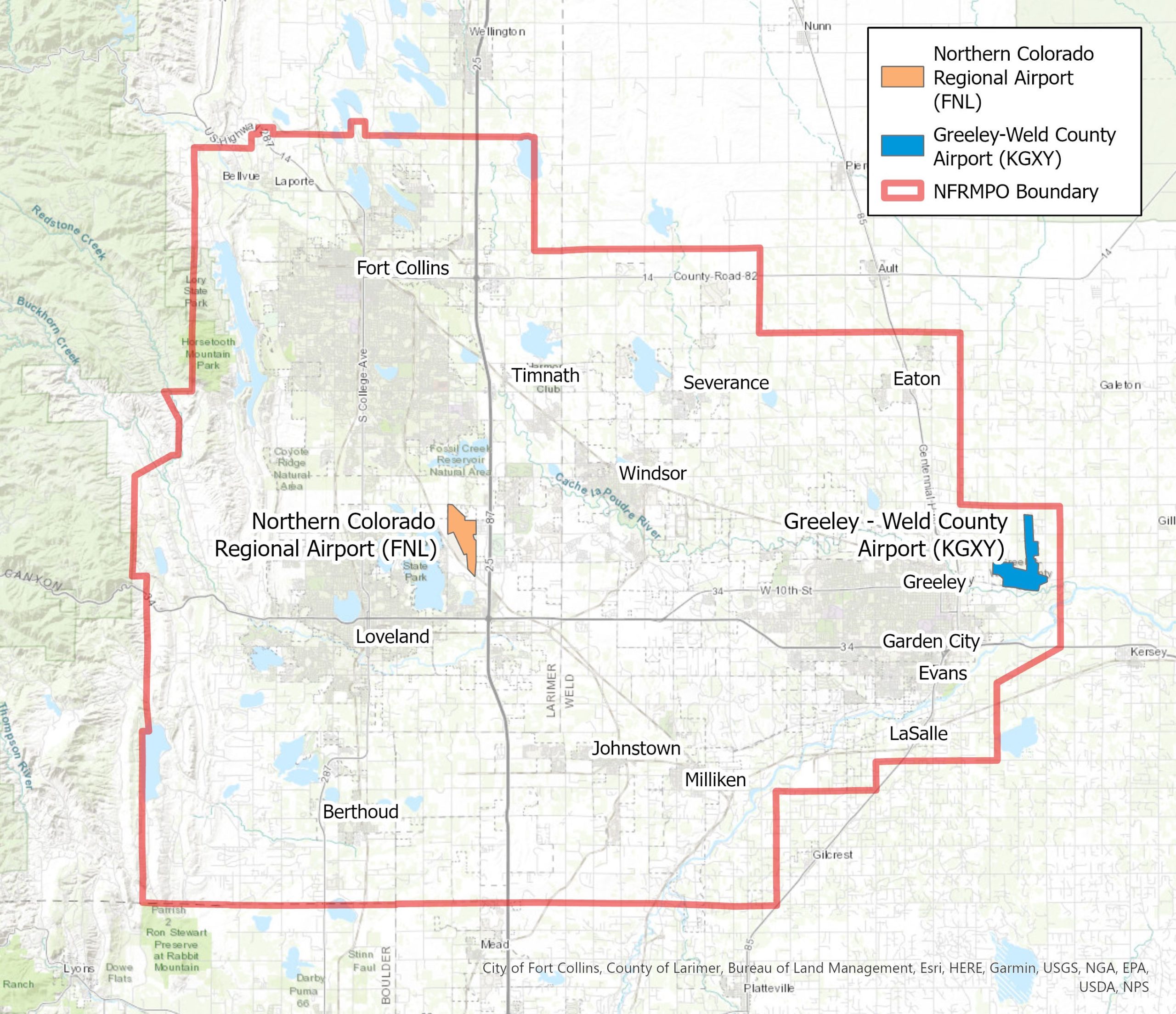
Two airports currently operate within the NFRMPO region: the Northern Colorado Regional Airport (formerly the Fort Collins-Loveland Municipal Airport) and the Greeley-Weld County Airport. The Fort Collins Downtown Airport closed in 2006. Each of the two operating facilities is described in more detail in the sections below.
Airports
Northern Colorado Regional Airport (FNL)
The Northern Colorado Regional Airport (FNL), which opened in 1964, is jointly owned and operated by the cities of Fort Collins and Loveland. The airport is one of 14 commercially certified airports within Colorado and operates under a limited Federal Aviation Regulation (FAR) Part 139 certificate. This Regulation establishes operation procedures for commercial service.
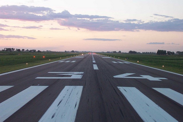
The airport has two runways – 15/33 and 6/24. Runway 15/33 is 8,500 feet in length and has a width of 100 feet. This runway has an asphalt surface with high intensity runway lighting. Runway 6/24 is 2,273 feet in length and 40 feet in width. This runway has an asphalt surface, but does not have any runway lighting. The airport is equipped with a VHF (Very High Frequency) Omni-directional Range (VOR), an Instrument Landing System (ILS), and a Global Positioning Satellite (GPS) as navigation aids.
Flight operations at the airport include air carrier, private charter, corporate, air ambulance transport, aerial fire suppression, flight training, and general aviation usage. The airport also has 245 based aircraft including single-use aircraft, multi-use aircraft, jet aircraft, and helicopters. The airport has had commercial airline services in the past, although there are not any currently operating. The FNL parking lot serves as a park and ride for the Groome Transportation and Landline bus services to Denver International Airport.
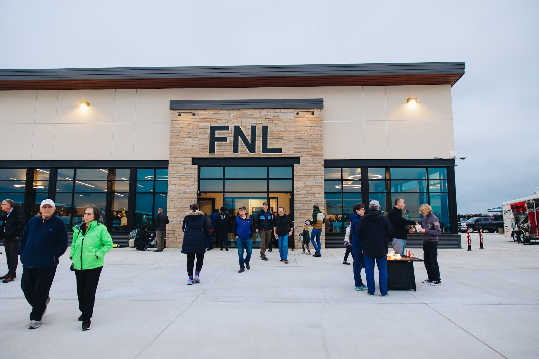
In November 2024, the Northern Colorado Regional Airport held a grand opening for its new terminal. The new terminal will provide greater options for air travel and increase economic opportunities.
Greeley-Weld County Airport (GXY)
The Greeley-Weld County Airport (GXY), which covers 1,200 acres and opened in 1944, is jointly owned and operated by the City of Greeley and Weld County although financially independent from both communities. The airport is a Major General Aviation airport with two runways: 10/28 and 17/35. Runway 10/28 is 5,801 feet long and 100 feet wide. Runway 17/35 is 10,000 feet long and 100 feet wide. The airport is equipped with very high frequency (VHF) omnidirectional range (VOR), instrument landing system (ILS), Global Positioning System (GPS), and Non-Directional Radio Beacon (NDB) as navigation aids.
The airport also has a total of 224 total based aircraft including single-engine aircraft, multi-engine aircraft, jet aircraft, and helicopters. The airport is also a co-location for the Air National Guard.
In October 2024, the City of Greeley, Weld County, and the Greeley-Weld County Airport Authority approved upgrades to the airport to service greater air traffic and larger planes. The upgrades include a new taxi lane, a new taxiway, and new roads. Construction is set to begin in spring of 2025.
Denver International Airport (DEN)
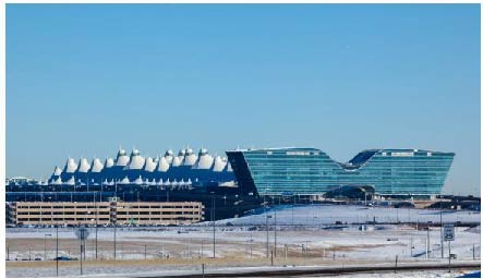
While not located within the NFRMPO region, the Denver International Airport (DEN) is the largest and closest commercial airport serving the region.
Buses and Shuttles Between NFRMPO Region and DEN
- Landline - Fort Collins, Timnath, and the Northern Colorado Regional Airport to DEN
- Groome Transportation - Loveland and Fort Collins to DEN
- Bustang - Fort Collins, Loveland, and Berthoud to Denver Union Station